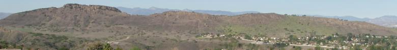
Conejo Views
Thousand Oaks and Vicinity
Pictures:
Wildwood Park
Trail map
Paradise Falls
Thirsty hikers
Wendy trailhead to the waterfall
View of Rancho Sierra Vista and the Satwiwa loop trail
Hike towards the Sycamore Canyon drop off
Made it to the falls!
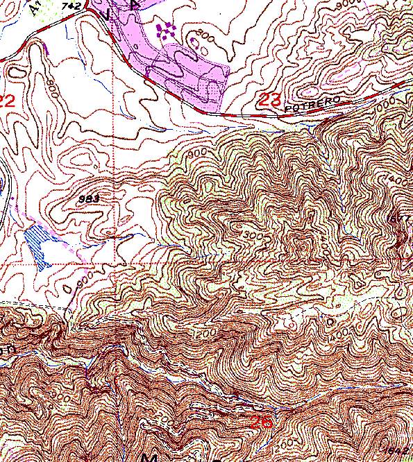
Topographic map of the waterfall area
Map of the Boney Mountain Area
Conejo Valley Days (official web site)
Rides #1
Rides #2
Rides #3
Flooding on Calleguas Creek, 2005
Day Hikes in Ventura County, California: 43 of the Best
Hiking guide for Malibu to Santa Barbara
Birds of Los Angeles: Including Santa Barbara, Ventura and Orange Counties
California Waterfalls
by Ann Marie Brown
Pictures of other areas in the Southwest
Share your photos on the net
Links
City of Thousand Oaks
Thousand Oaks Library
County of Ventura
Conejo Unified School District
Conejo Parks and Recreation District
Thousand Oaks Teen Center
Conejo Open Space Foundation
Conejo Open Space and Conservation Agency
Trail Map
Santa Monica Mountains National Recreation Area
Park Map
Perspective Map
Rancho Sierra Vista and Satwiwa Map
Ali Baba's Café
a great place to eat
[Rick's Photos]
[Steve's Art]
[Yosemite News]
[Yosemite Photos]
[California Field Guides]
[Yosemite Campsites]
[Plasma TV]
[Share&bnsp;Photos]
